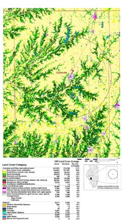
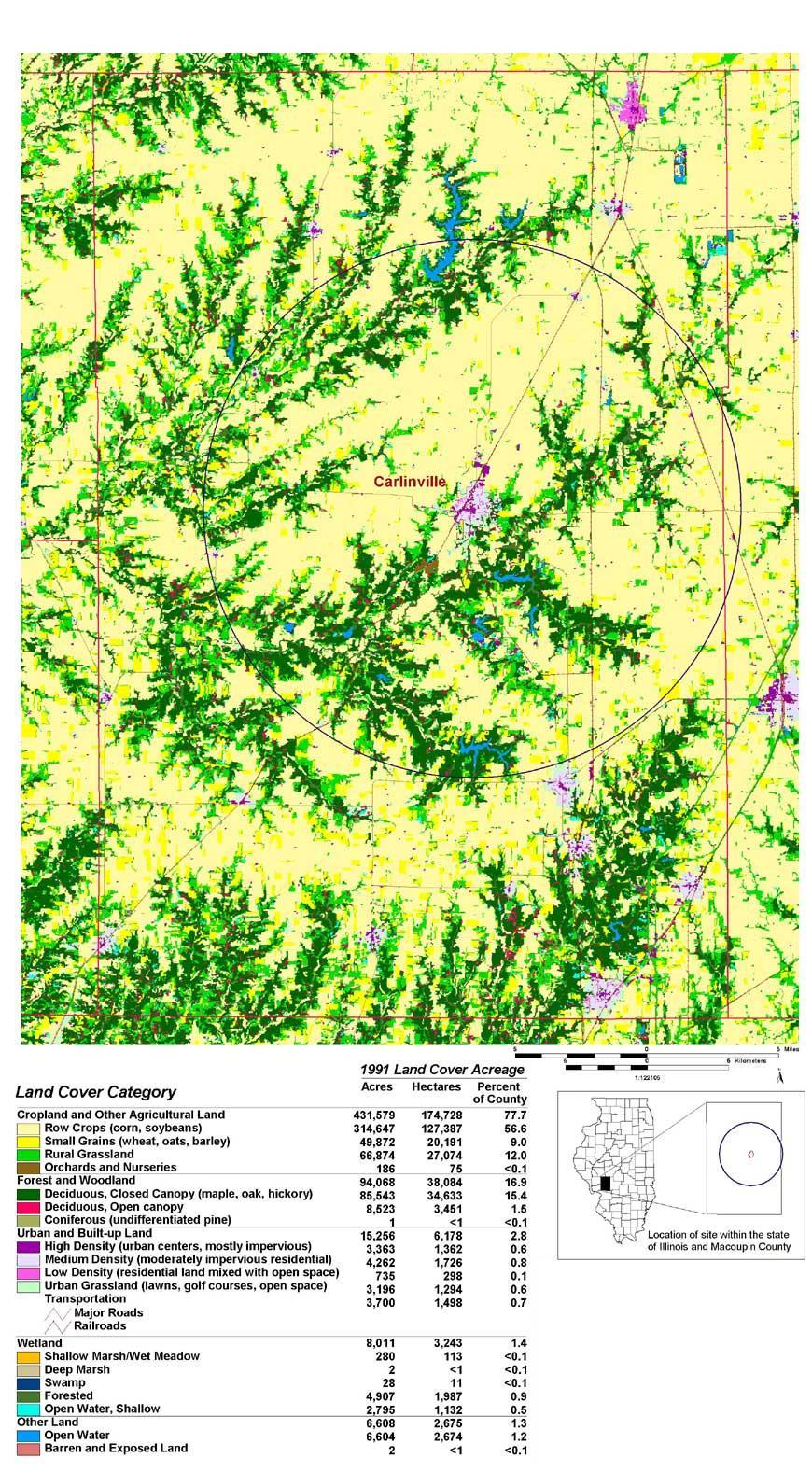
Fig. 7. Land cover of Macoupin County, Illinois, in the early 1990s. The area around Carlinville includes both heavily agricultural, flat prairie land and rough forested terrain along the major streams. The circle,11 miles (17.6 km) in radius, encompasses the study area. The map is based on Landsat Thematic Mapper (tm) satellinte imagery, 1991-1995, adapted from Luman et al. (1996) and the Illinois Department of Natural Resources (1996), reprinted with permission of the Illinois Department of Natural Resources, copyright 2000. Click on the thumbnail image below to view the full-size image.